Our Patagonia route
Rather than to head to the first areas that come to mind for Patagonia (Torres del Paine, Tierra del Fuego), we decided to visit the less popular areas of central Patagonia (the Aysén region), following the Carretera Austral ("Southern Highway") through the newest National Parks in Patagonia.
It is a spectacular area - reminiscent of the Alaskan fjords, the San Juan mountains in Colorado, alpine meadows and spires of the Italian Dolomites, and the rivers and mountains of Montana...all in the same area!
We started in Puerto Montt, and traveled south to Cochrane, and back. Here's our basic route:
Heading South on the Carretera Austral
The Carretera Austral highway project (connecting the length of Patagonia) was started in the 1980's. It is not yet complete - it ends at Villa O'Higgins, and requires ferry travel through at least two roadless sections. Of the sections that are open, only about half are paved, with many areas under construction. Even in it's current state, it has been transformative in opening up access to the Aysén region, which until recently has only been accessible by boat or plane.
 |
| Waterfall family selfie |
 |
| After a few days, the landscape can't compete with books... |
 |
| Top of the Chaitén volcano overlooking Lago Blanco |
 |
| Chaitén volcano on the left - still smoking after erupting and burying the town of Chaitén in ash in 2008. |
 |
| Alex at the Gates of Mordor approaching Chaitén volcano |
 |
| Ancient Alerce tree...over 3,000 years old |
Parque Queulat
 |
| The Ventisquero Colgante (hanging glacier) in Queulat Park |
 |
| Even the rocks grow life in the rain forest of Queulat |
Coyhaique Area
Coyhaique is the regional capital of Aysén, and our base camp as Alex and Katie completed their semester of school.
 |
| Fields of lupin flowers were in bloom all across Patagonia |
 |
| Lago Elizalde view typical of the skies, lakes, mountains, and meadows across the Aysén region |
 |
| "Valle de la Luna" northwest of Coyhaique on the Argentina boorder |
 |
| Katie after realizing how cold the glacier-fed water is |
 |
| Katie at an unnamed waterfall off of an untraveled dirt road near Coyhaique |
 |
| Brilliant turquoise waters near the headwaters of Rio la Paloma |
 |
| Keri enjoying a sunny Patagonia day |
 |
| Katie loved drinking from the pure glacial streams |
 |
| Cerro Cuatro Puntos rising above lupin meadows |
 |
| Giant bees were everywhere in the flowers |
 |
| Waterwheel in Coyhaique National Reserve |
 |
| Coyhaique |
 |
Precious new lambs were everywhere in the meadows
TTC says: "AAAAAAAAAAAAAAH! It's too cute!" |
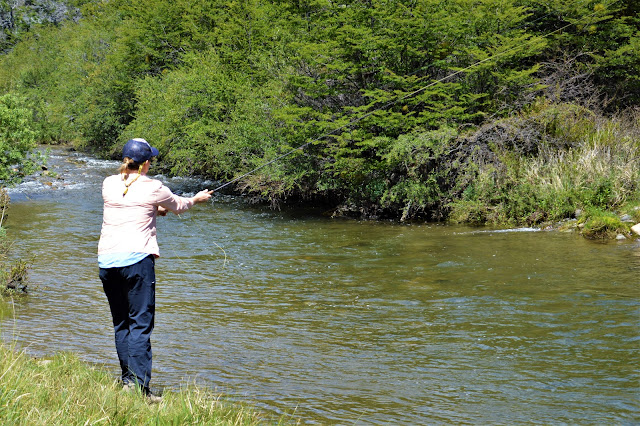
Fishing Patagonia
The fishing around Coyhaique lived up to expectations! I didn't hire a guide, didn't have a boat, and didn't have waders. Which meant I didn't fish the big, famous rivers (Simpson, Baker, etc.). Yet I caught hundreds of fish in six different rivers, with as many as 60+ fish in a few hours of fishing.
 |
| Alex caught five fish in less than an hour of fishing |
 |
| One of many rivers within a short drive of Coyhaique |
 |
| Another river and meadows near Coyhaique |
 |
| This brown trout was typical of the fish we caught on these rivers |
 |
| We caught more than 20 fish in this spot |
 |
| Keri and friend |
 |
| Alex setting another brown trout |
Puerto Aysén and Simpson River Reserve
 |
| Aysén Bridge reflecting in the Aysén River |
 |
| Taking a break from kayaking for a traditional mate tea from the yerba mate plant |
 |
| Morning on the Aysén river |
 |
| One of the fishing boats in the Puerto Aysén boat cemetery island |
 |
| Simpson River |
 |
| Katie and nalca plants - the stalks of these giant plants are eaten raw and used to create natural juice drinks |
 |
| Alex in a haunted forest - there are orderly pine forests like this in many areas, as the Chile forest service rebuilds areas that were deforested ("put into service") in the 1970's, resulting in massive erosion and landslides. |
 |
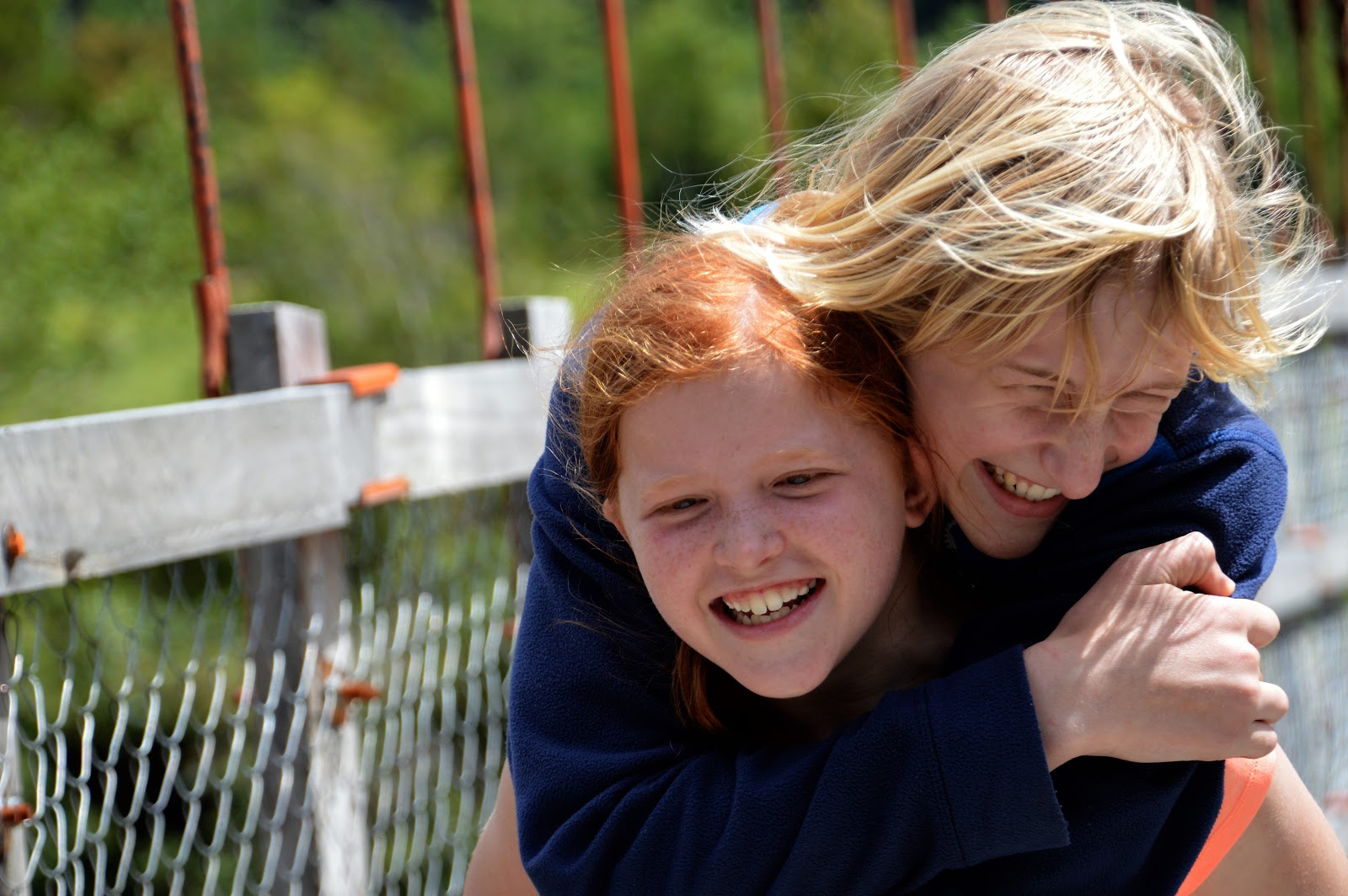
| Katie the sherpa |
Next...
We will head south from Coyhaique to marble caves, glaciers, and Parque Patagonia...


No comments:
Post a Comment
We would love to hear from you!
Please include your name in your comment.